by William E. Welsh
The gray and blue soldiers were encamped south of Nashville, Tennessee, at the rail depot of Murfreesboro. They awoke the morning of December 31, 1862, to a landscape shrouded in a gray fog. The town was controlled by the Confederates, and a long Union line of battle to the north stretched for about three miles from the Franklin road north to Stones River. The night before had been a trying one for the men of both sides whose commanders forbade them from having campfires that might give away their units’ positions. Shivering from winter’s cold, they unrolled their blankets for a restless night.
[text_ad]
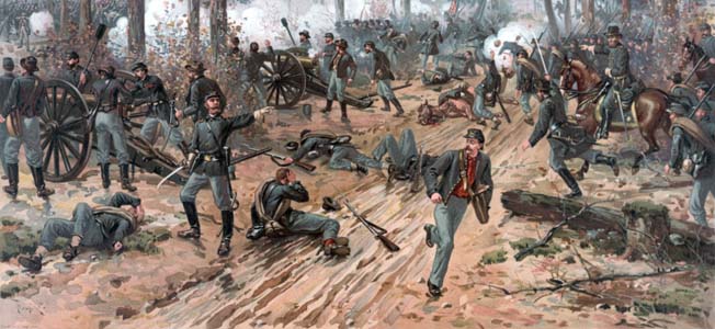
At 6:30 AM, Union pickets on the Federal right watched in horror as long ranks of gray infantry suddenly emerged from the mist signaling a full-scale attack. Confederate General Braxton Bragg had ordered the dawn attack. Two veteran Confederate divisions totaling approximately 10,000 men advanced toward their foe confident that the advantage lay with them that brisk winter morning.
The Broken Cannon Line Along the “Slaughter Pen”
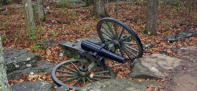
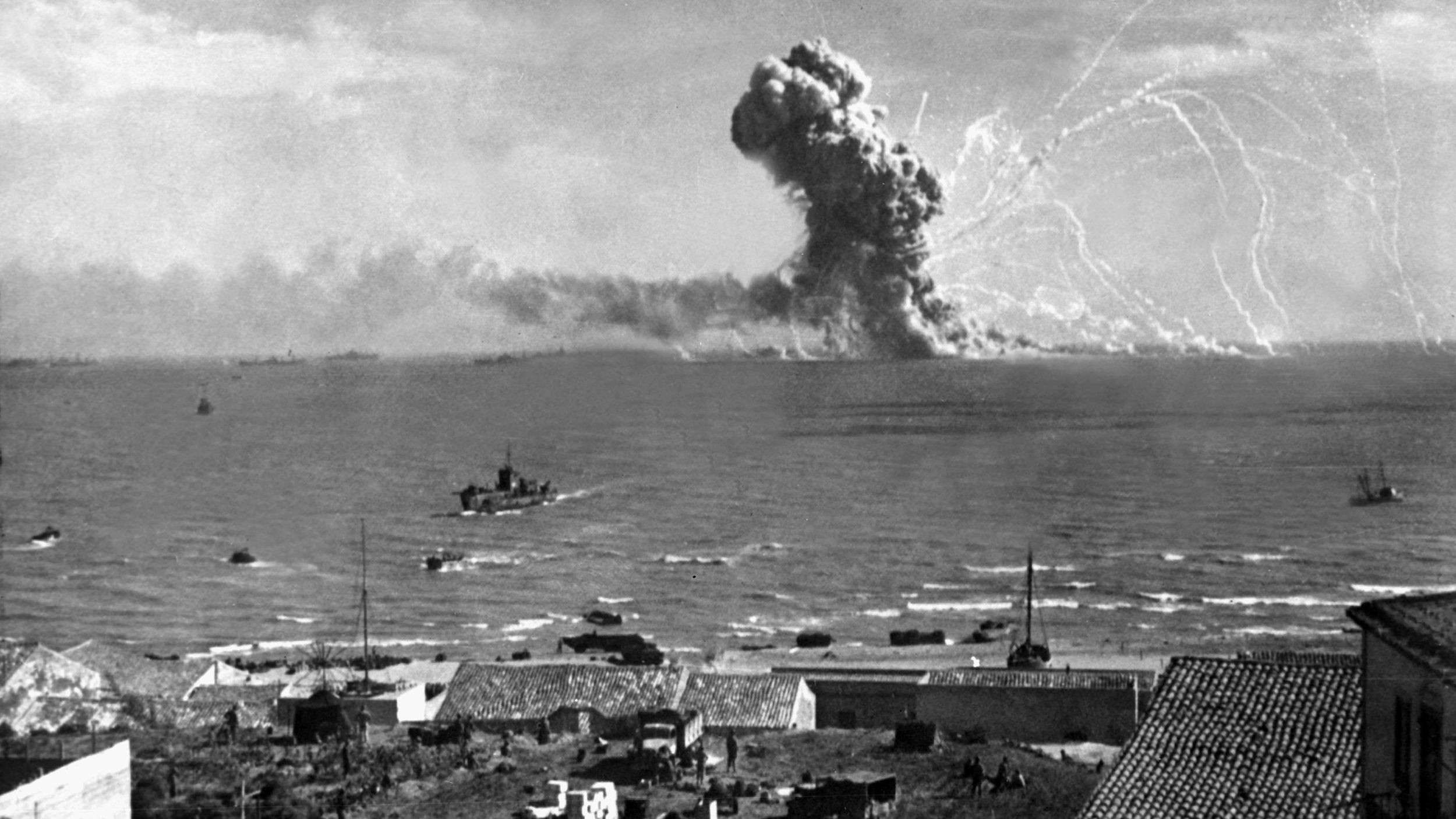
Underneath the scraggly branches of a grove of cedar trees at modern-day Stones River Battlefield Park, two cannon lie on the ground with their wheels either flat on the ground or at an awkward angle. The broken cannon lie in an area that became known after the battle as the “Slaughter Pen” and are meant to represent four of six guns that were lost by Battery G, First Ohio Light Artillery, in the desperate fighting during the long morning when Maj. Gen. William Rosecrans’ 38,000-strong Army of the Cumberland was facing possible annihilation by Bragg’s 43,000-man Army of Tennessee. The broken cannon are an iconic image of Stones River battlefield and heavily photographed.
Where to Find the Stones River Battlefield
Stones River battlefield is located on the northwest side of Murfreesboro. At the battlefield’s visitor center, those who wish to tour the battlefield and learn about the struggle for Middle Tennessee can obtain maps and brochures, watch an orientation film, wander through exhibits, and browse the bookstore. The National Park Service stresses that the park only contains the heart of the battlefield. Many key areas, such as the ground where Bragg’s attack began, lay outside the NPS’ boundaries.
A six-stop auto tour within the park covers the fighting north and south of the Nashville and Chattanooga Railroad and the Nashville Pike where Rosecrans rallied retreating troops streaming through the cedars and repulsed Confederate attacks with artillery firing deadly canister rounds. Bragg launched an ill-conceived attack on the Union left situated on a hill east of Stones River on January 2 that resulted in 1,800 additional Confederate casualties. The following day, he withdrew his army from Murfreesboro, thereby conceding victory to Rosecrans.
Other Key Points of Interest for Visitors
In addition to the Slaughter Pen, two other key points of interest within the park are the Round Forest and the McFadden Farm. The Round Forest, also known as Hell’s Half Acre, marks the site of where Union Colonel William Hazen’s Brigade stood firm against as many as four separate Confederate attacks throughout the day anchoring the Union left. The McFadden Farm, which lay on the west side of the river, is where Rosecrans’ Artillery Chief Captain John Mendenhall massed 57 cannon to repulse Maj. Gen. John Breckenridge’s desperate attack.
A key site worth seeing outside of the park’s boundaries is Fortress Rosecrans, which was built after the war as a supply depot for the Union campaigns against Chattanooga and Atlanta. The fortress had a number of redoubts, one of which, Redoubt Brannan, is well preserved.

Join The Conversation
Comments
View All Comments